Laser Scan in Construction
Construction Applications
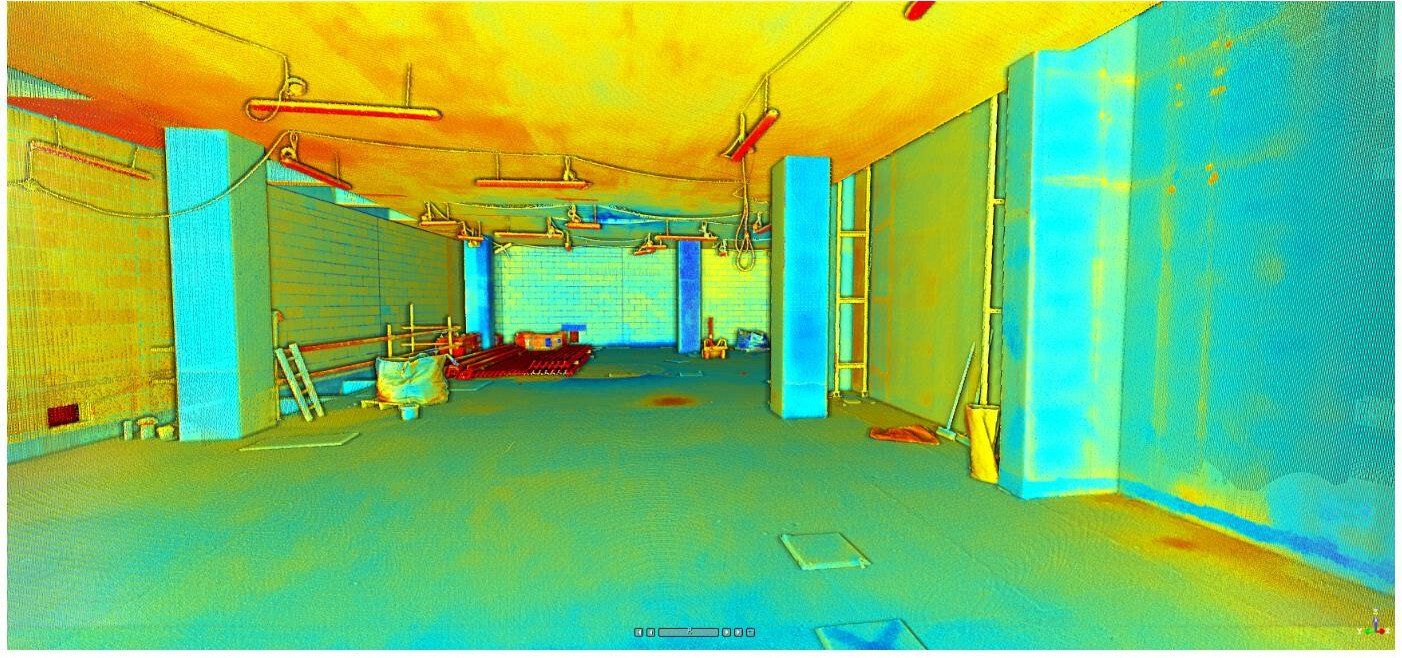
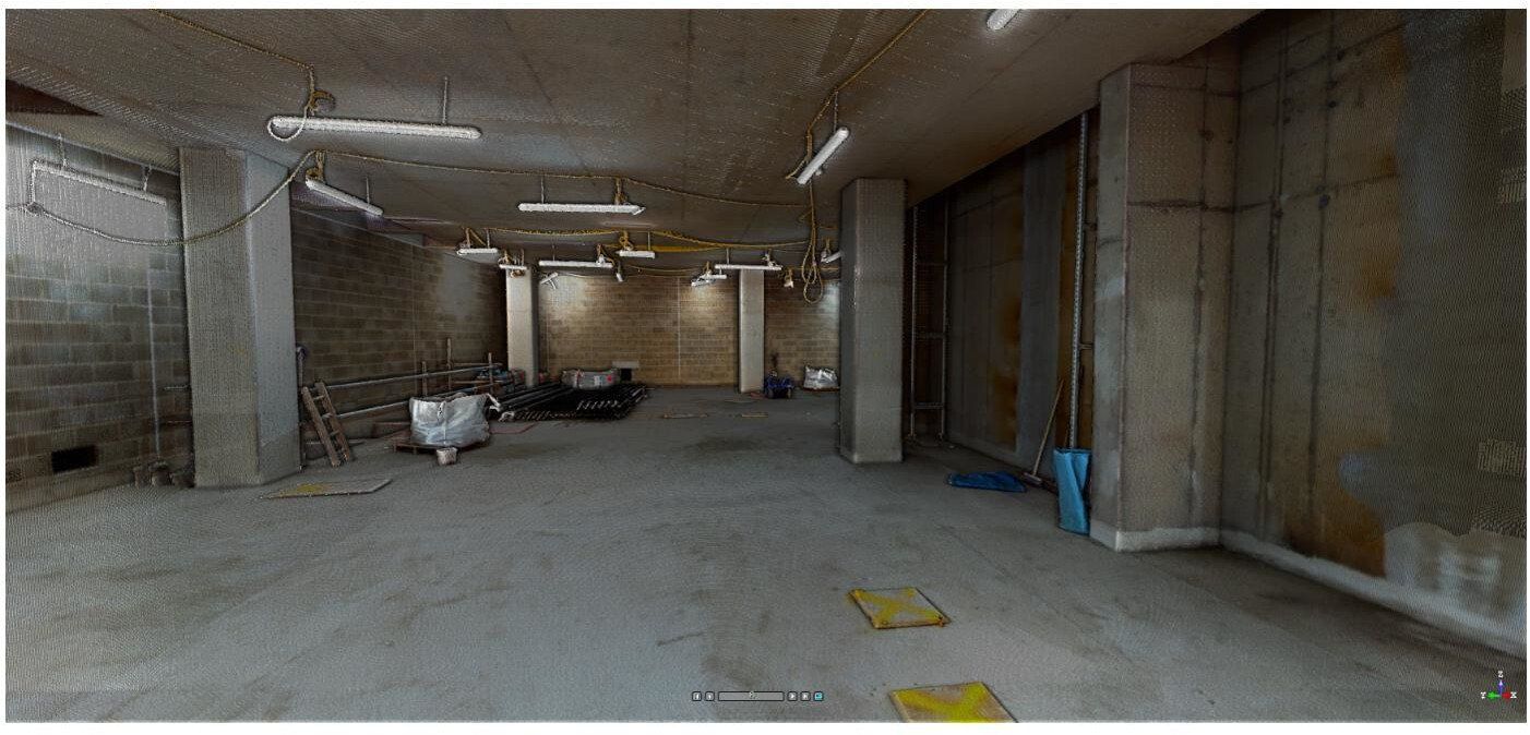
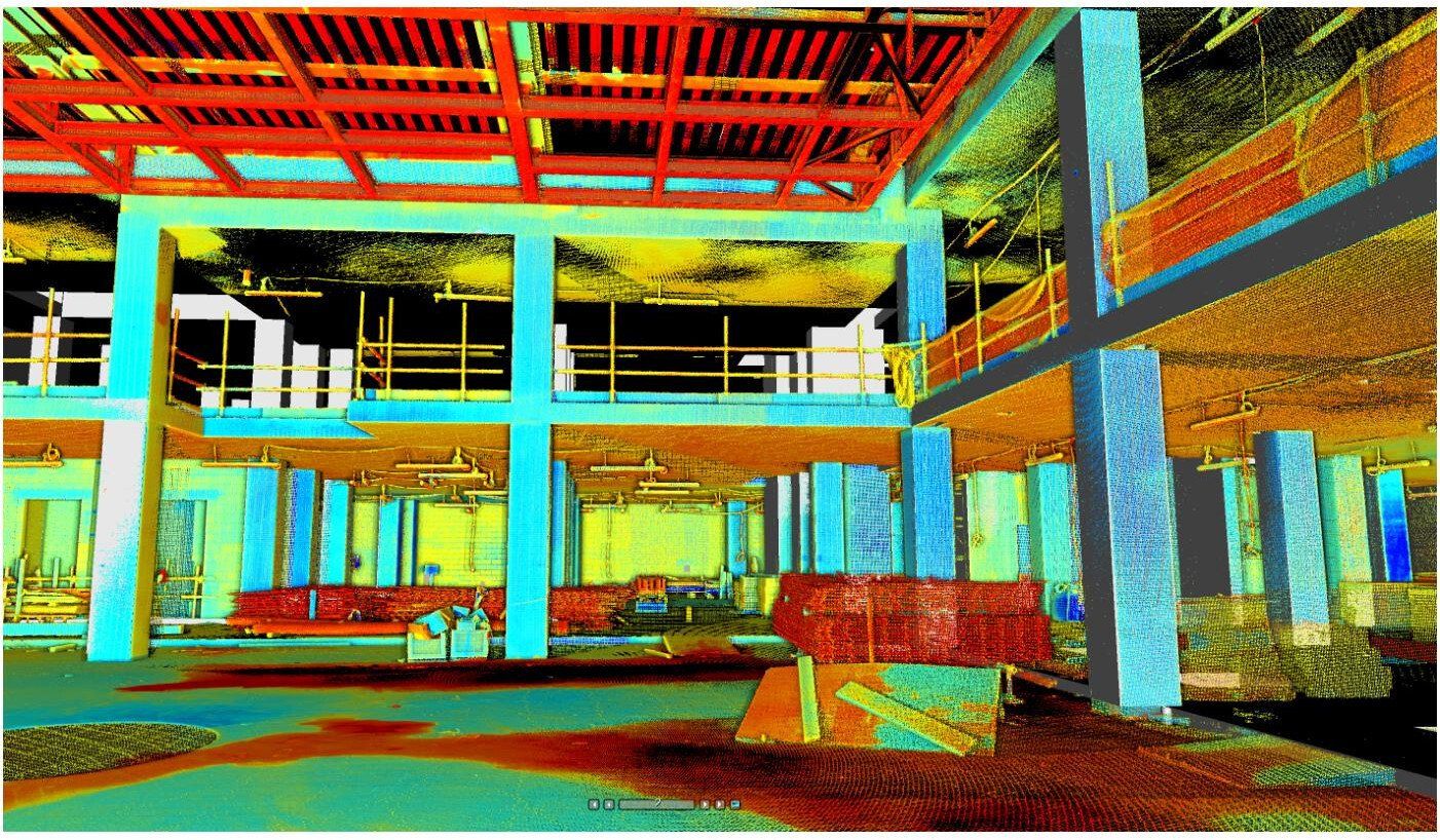
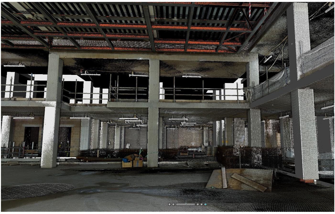
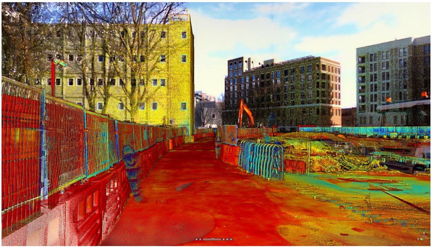
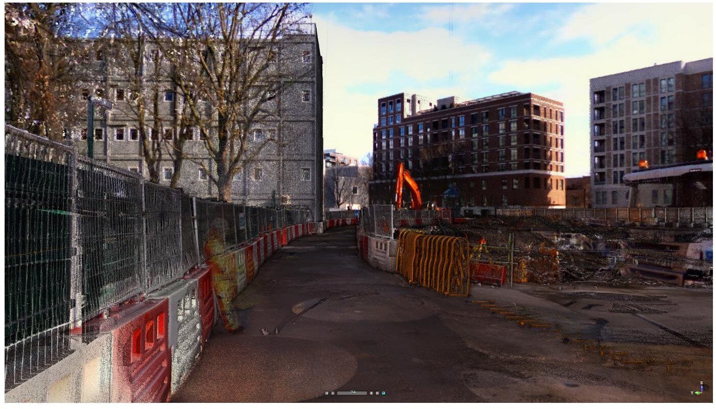
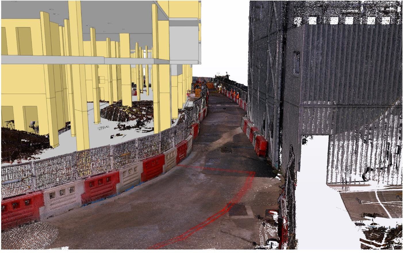
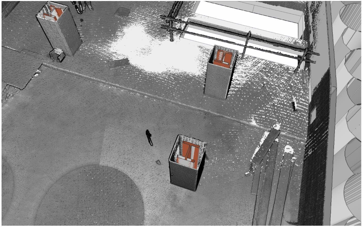
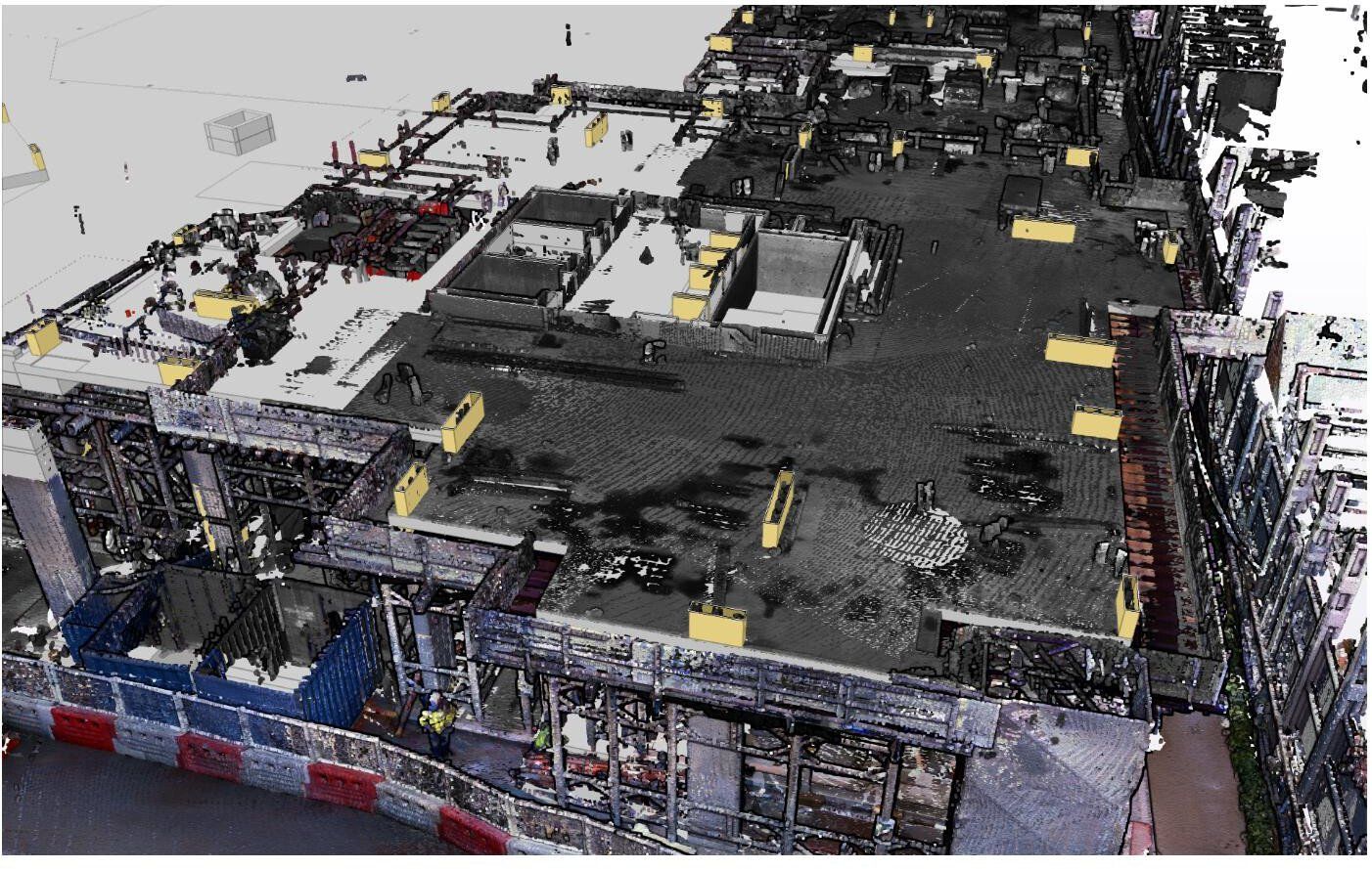
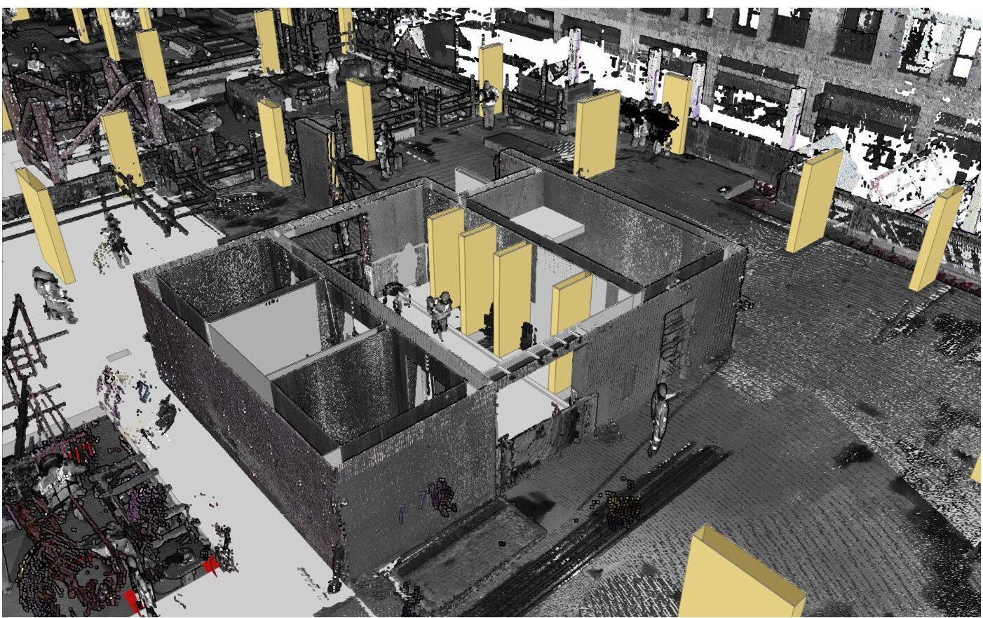
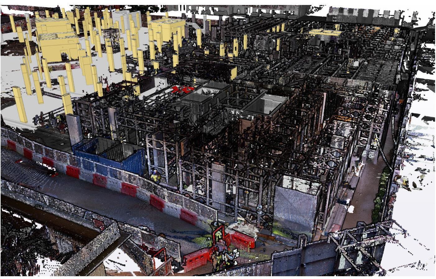
BES can perform point cloud scans on live construction projects which can then be viewed by themselves or overlaid on the design model by using free, commonly used software like Trimble Connect, Tekla BIMsite, etc.
This can then be used for:
- Recording site status and boundary conditions at the beginning of a project to quickly identify any issues which could lead to delays during the works.
- Recording completed works prior to the handover to a client.
- Capturing progress at a point in time, for analysis and future reference.
- Gathering evidential data for Party wall agreements
- Remotely surveying and recording actual quantities of materials used, e.g. calculating formwork material usage per square meter.
- Visualising site logistics clearly, with the ability to identify and measure 'pinch points'.
As a by-product of these scans, all the information needed to generate project as-builts can also be extracted without using site resources to perform surveys.
Have you scanned your site before handing it over?
Once the site work is completed and all the new elements are constructed it’s time to handover the area to the next trade.
BES can produce a point cloud of the completed work that holds all the information in one place and a viewer that allows access to the site condition in that particular moment from any laptop without having to install any software.
Geo-located Point Clouds
By using Control Points, we can correctly geo-reference projects to link registered scans to a project coordinate system
PC Analysis
Visualize the whole structure and identify irregularities which cannot be spotted by a site visit or a traditional survey
Mechanical Electrical Plumbing (MEP)
The scanned data provides information on the current situation and insight into possibilities for expansion.
Highly accurate 3D laser scanner
Our team uses a high-speed survey-grade 3D laser scanning system which has up to 2mm accuracy and is effective on dark and reflective surfaces undetectable by most other scanners. Depending on project requirements captured point density can be adjusted to meet specification.
Bruno Engineering Ltd
33 Connaught Gardens, Morden, London

© 2022. The content on this website is owned by us and our licensors. Do not copy any content (including images) without our consent. Privacy Policy | Terms and conditions